One of the first steps to take when planning a deer fence installation is to determine the total linear feet of your fence line. Sometimes these measurements will be available through survey or land plots. When these are unavailable, you will need to determine the correct distance to make sure you are getting enough deer fence material to complete your job. This can be accomplished by either walking the proposed deer fence line or using google maps to get a more precise measurement.
To walk a deer fence line:
If you have a measuring wheel, this will be pretty easy to do and give an accurate result. If not, walk the lines where deer fence will be built, counting the steps as you go. Once you have finished counting, multiply that number by 2.5 The average stride length is just over 2' so using this number should account for variances in stride length and ensure you have enough material to complete your deer fence.
Using Google Maps to determine linear feet of a deer fence:
1. Locate your address in Google Maps
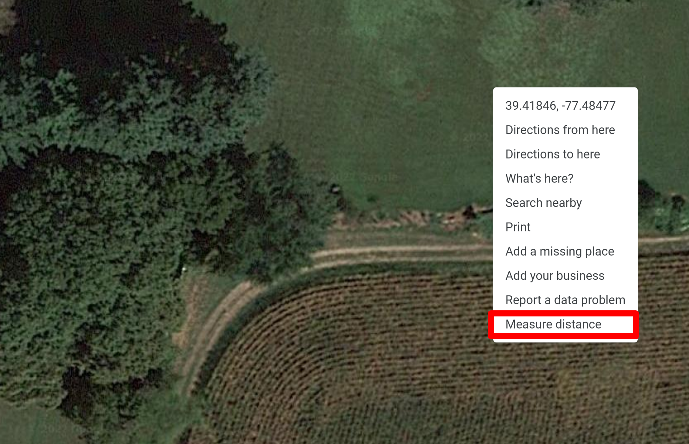
2. Click on the layers option in the bottom left corner and make sure that satellite is selected. It should look like an aerial photograph of your property. Right click on the screen and select Measure Distance from the options menu.

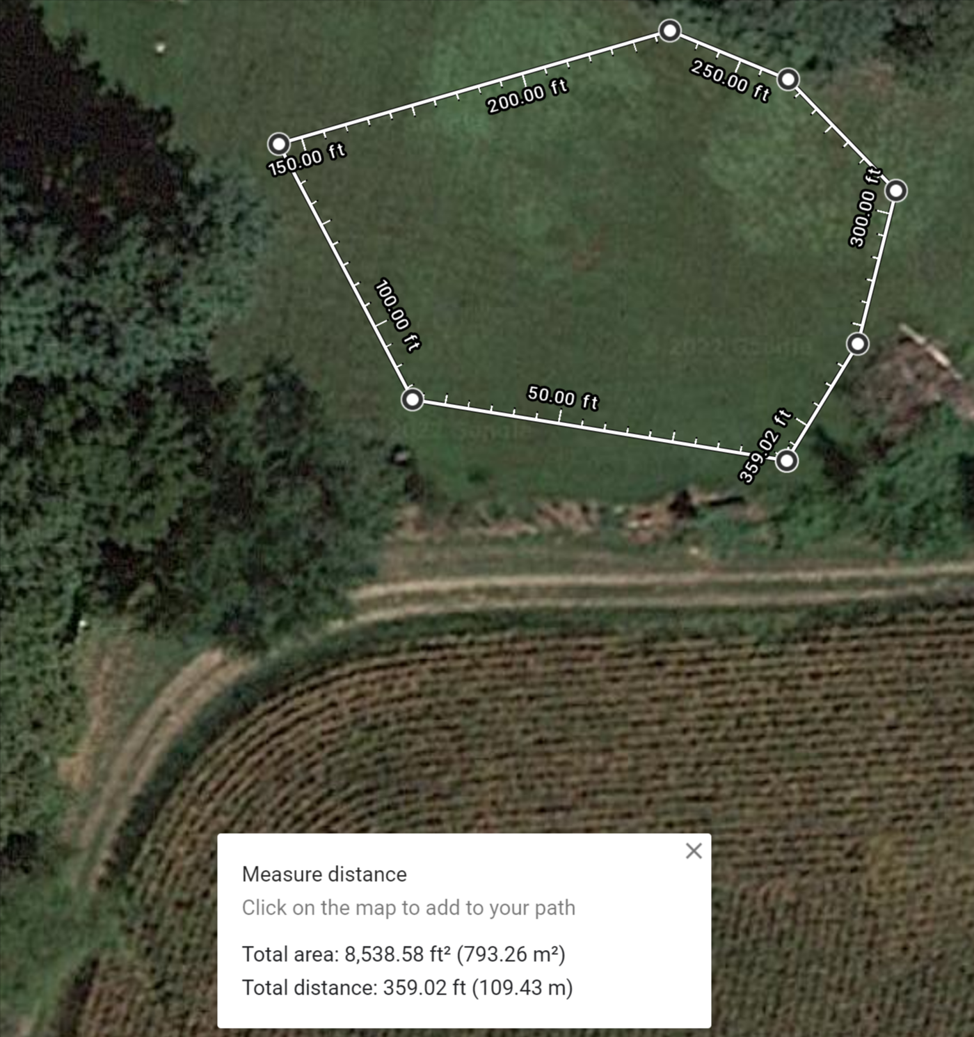
Use your mouse to click on the areas where you need to change directions in your fencing. The first marker can be moved into a starting location by dragging it to the desired position on the map. As you add points, the tool will add up the total linear footage of the deer fence. The total distance and area will be displayed at the bottom of the map. You will want to use the total distance number for the total linear footage of your deer fencing.

See an example in action:
